

3D ARCHITECTURAL WALKTHROUGH ANIMATION PAKISTAN
Bring Your Designs to Life with Immersive 3D Walkthroughs
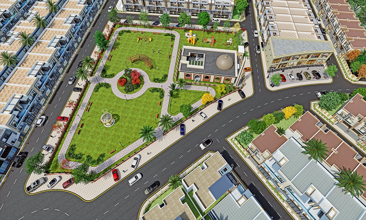
Studio3 offers professional 3D Architectural Walkthrough Animation Services that transform static architectural designs into realistic, cinematic visual experiences. Our walkthrough animations allow clients, investors, and stakeholders to virtually experience a project before it is built, offering a clear understanding of space, design flow, lighting, materials, and overall atmosphere.
Whether it is a residential villa, commercial complex, housing society, or large-scale urban development, our 3D walkthrough animations help you present your project in the most engaging and impactful way.
What is a 3D Architectural Walkthrough Animation?
A 3D architectural walkthrough is a video animation that simulates a real-life camera movement through a digital 3D model of a building or space. It showcases interiors, exteriors, landscaping, and surrounding environments in a smooth and realistic visual sequence.
This allows viewers to virtually “walk through” the project and experience it as if it already exists.
Our 3D Architectural Walkthrough Animation Services
Residential Walkthrough Animation
We create detailed walkthroughs for residential projects including:
- Luxury Villas
- Modern Houses
- Apartments
- Farmhouses
- Townhouses
- Housing Communities
These animations highlight interiors, exteriors, and lifestyle ambiance to help clients visualize their future homes.
Commercial Walkthrough Animation
Our commercial animation services cover:
- Office Buildings
- Shopping Malls
- Retail Stores
- Hotels & Resorts
- Restaurants & Cafes
- Corporate Spaces
We help businesses showcase their spaces for investors, approvals, and marketing campaigns.
Interior Walkthrough Animation
We create immersive interior animations featuring:
- Living Rooms
- Bedrooms
- Kitchens
- Offices
- Reception Areas
- Showrooms
These animations focus on furniture layout, lighting, materials, and spatial experience.
Exterior & Site Walkthroughs
Our exterior animations include:
- Building Facades
- Landscape Design
- Roads & Entry Gates
- Parking Areas
- Community Views
- Surrounding Environment
We ensure realistic environmental integration for a complete visual experience.
Benefits of 3D Architectural Walkthrough Animation
Realistic Visualization
Walkthrough animations provide a lifelike representation of the project before construction begins.
Better Client Understanding
Clients can easily understand design intent, layout, and spatial flow.
Strong Marketing Tool
High-quality animations are highly effective for real estate marketing and investor presentations.
Faster Approvals
Clear visual presentations help speed up design approvals from stakeholders and authorities.
Improved Design Communication
Architects, designers, and developers can communicate ideas more effectively.
Why Choose Studio3?
Cinematic Quality Animation
We create smooth, realistic, and visually engaging architectural walkthroughs with professional cinematic quality.
Attention to Detail
Every element including lighting, materials, textures, and camera movement is carefully designed for realism.
Customized Storytelling
Each project is tailored to highlight key architectural features and client requirements.
Fast Delivery
We understand project deadlines and deliver high-quality animations within agreed timelines.
Modern Visualization Tools
We use advanced 3D software and rendering engines to produce high-end architectural animations.
Our Walkthrough Animation Process
1. Project Understanding
We analyze architectural drawings, 3D models, CAD files, and client requirements.
2. 3D Scene Setup
We build a detailed 3D environment including buildings, interiors, landscapes, and surroundings.
3. Animation Development
We create smooth camera paths, lighting setups, and realistic movement sequences.
4. Rendering & Optimization
High-quality rendering is performed to ensure cinematic visuals and smooth playback.
5. Final Video Delivery
We deliver the final walkthrough animation in HD or 4K video formats ready for presentation and marketing.
Applications of 3D Architectural Walkthrough Animation
Our animations are widely used for:
- Real Estate Marketing
- Project Presentations
- Investor Pitching
- Architectural Competitions
- Client Approvals
- Urban Planning Visualization
- Construction Previews
- Digital Advertising
- Website Portfolios
- Social Media Campaigns
Industries We Serve
Our services are designed for:
- Real Estate Developers
- Architects
- Construction Companies
- Interior Designers
- Urban Planners
- Government Projects
- Commercial Developers
- Hospitality Industry
- Educational Institutions
Frequently Asked Questions
What is a 3D architectural walkthrough animation?
It is a virtual video tour of a 3D architectural model that simulates real-life movement through a building or space.
Can you create walkthroughs from 2D drawings?
Yes. We can develop complete 3D models from CAD drawings and then create walkthrough animations.
What resolution do you deliver?
We typically deliver HD and 4K quality videos depending on client requirements.
How long does a walkthrough animation take?
Project duration depends on complexity, level of detail, and animation length.
Can you include interior and exterior in one animation?
Yes, we can combine interior and exterior views in a single walkthrough animation.
Get Professional 3D Architectural Walkthrough Animation
Turn your architectural designs into powerful visual experiences with Studio3. Our 3D walkthrough animations help you present your projects with clarity, realism, and impact.
Contact us today to discuss your project and get a customized quote for 3D Architectural Walkthrough Animation Services.