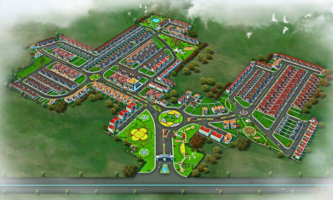
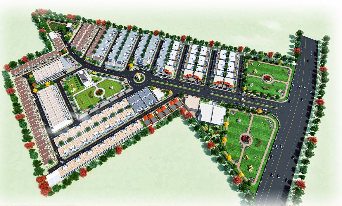
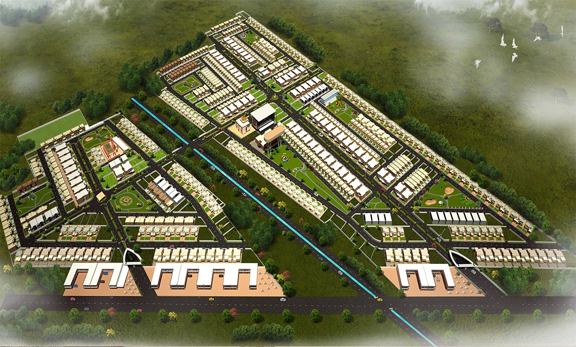
DaRender offers a comprehensive bird’s-eye perspective of a property or development, capturing the entire layout from above. These visuals highlight not only the placement and design of buildings but also the integration of roads, pathways, landscaping elements, and surrounding environments. By showcasing how a project fits within its broader context, aerial renderings provide a clear sense of scale, connectivity, and spatial organization. They are particularly valuable for large-scale developments, master planning, and urban design projects, where understanding the overall relationship between different components is essential. Frequently used in marketing campaigns, presentations, and approval processes, aerial renderings help stakeholders, investors, and clients visualize the complete scope of a project before it comes to life.
Outsourcing architectural 3D visualization to DaRender provides a seamless, cost-effective solution to bring design concepts to life with unmatched quality and precision.